System Integration for Smart & Intelligent Solution
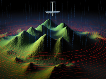
Our focus lies in Data-Driven Solutions, powered by Drone Data and Geospatial Data to offer improved recommendations and actions, thus maximizing Return on Investment (ROI).
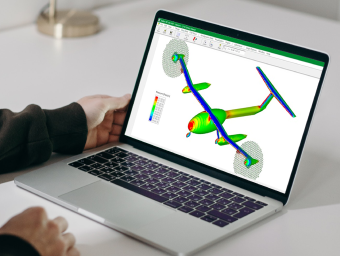
Integrated Circuit (IC) Design & Modelling for Radar and Wireless Technology
We offer consultation and design services in millimeter-wave and radio-frequency integrated applications and circuit design. We also have expertise in multiple-in, multiple-out (MIMO) technology.
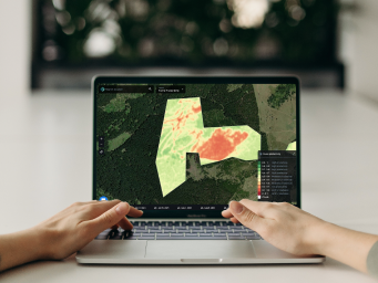
Geospatial Data Acquisition, Processing & Analysis
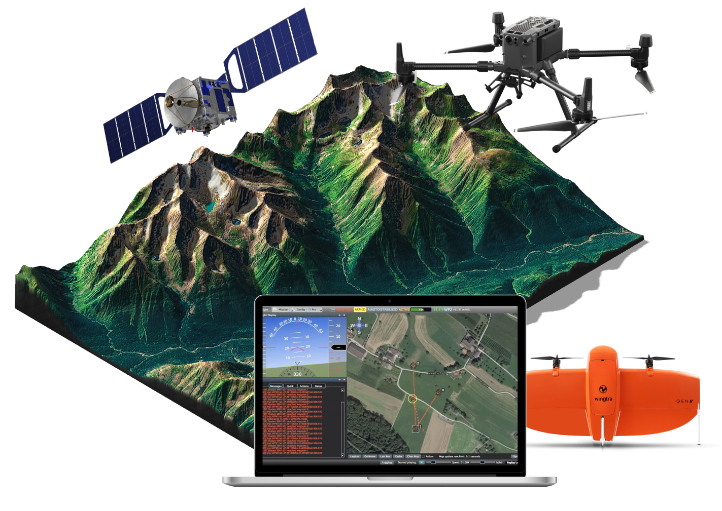
We provide specialized geospatial services for data analytics. Our expert team utilizes cutting-edge technologies, including satellite imagery, aerial drones and advanced software tools.
We have the capabilities to develop fully functional web applications for diverse industries.To build reliable and responsive web applications, we deploy latest and proven web technologies.
The Leading Provider of Geospatial Intelligence Solutions
We provide specialized geospatial services for data analytics. Our expert team utilizes cutting-edge technologies, including satellite imagery, aerial drones, and advanced software tools, to provide accurate and actionable insights for optimal design and planning.
Aeronerve stands as one of Malaysia's premier solution providers, specializing in crafting tailored solutions to address your challenges, offering valuable insights and intelligent recommendations
At Aeronerve, we are dedicated to transforming your aspirations into realities. Our comprehensive range of services is tailored to meet your unique needs and drive sustainable growth.
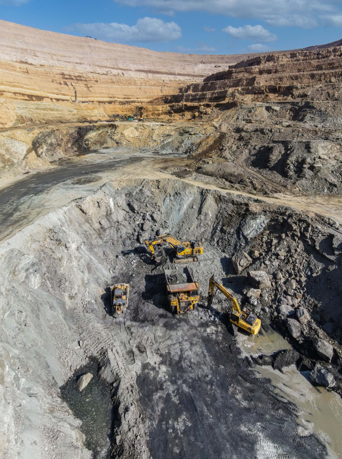
TERRABINA is a product that integrate Drone and IoT sensor data and visualize it on a cloud-based platform for developers to access digital construction progress reports.
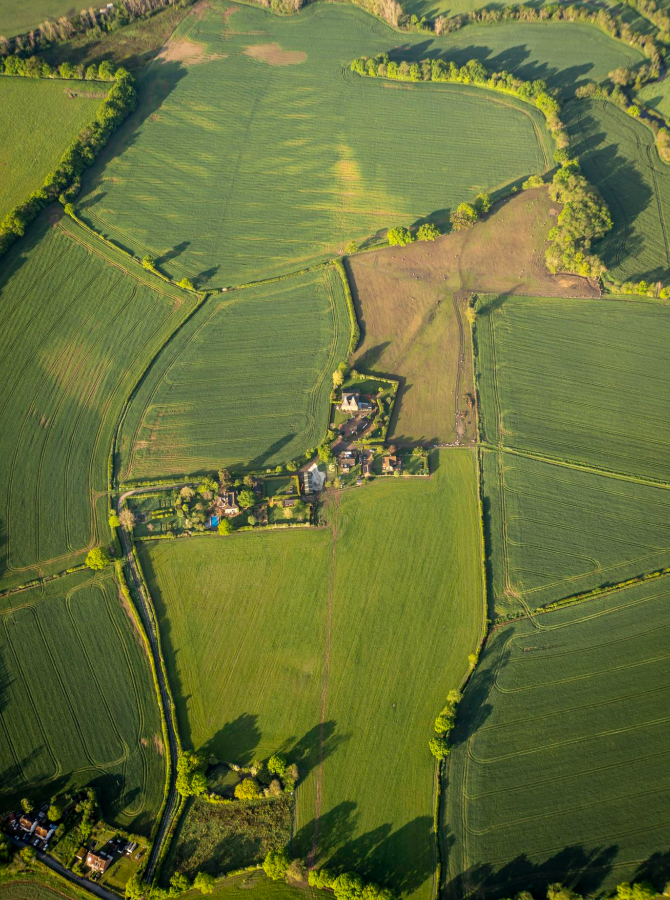
Drone & Iot Powered Data Driven Precision Agriculture
TERRAAGRA is Smart Farming and Precision Agriculture product that focuses on Drone and Iot data integration and visualization to give insight on plantation and farm site.
TERRABINA is a product that integrate Drone and IoT sensor data and visualize it on a cloud-based platform for developers to access digital construction progress reports.
Drone & Iot Powered Data Driven Precision Agriculture
TERRAAGRA is Smart Farming and Precision Agriculture product that focuses on Drone and Iot data integration and visualization to give insight on plantation and farm site.
Aeronerve has provided an instrumental service for project documentation and site assessments through their drone photography and videos.They have been utilized heavily in the planning stages of our Design-Build Projects and throughout the project – specifically weekly updates to the owner. I would highly recommend.
Zainal Naim
Co-Founder of ABC Company
This company ensured our expectations were met and then exceeded them. We will definitely use them again!
Zainal Naim
Co-Founder of ABC Company
As a Planning and development trust, quality & timing are lively to our managing a successful venture. It's assuring to know others take this identical approach with their customers. Aashish and the team at Equinox's drones have presented with perfection every time we've relied on their services. With high-quality photos, compliance to meet differing requests, and punctual and gracious delivery, Aeronerve have helped in our closing of several large transactions and will continue to do so in the foreseeable future.
Zainal Naim
Co-Founder of ABC Company
Great Service! Very dependable and always on schedule! They have proven to be a valuable asset to have on our project site in more ways then just cool pictures and videos! Great job and keep it up!
Zainal Naim
Co-Founder of ABC Company
We've used numerous drone services, but the level of excellence we received from Aeronerve was fancied in every way. From the insured pilot and his state of the art facilities to the high definition photos that were magnified for brisker, more distinct images. Each part of the method was appropriate and unique
Zainal Naim
Co-Founder of ABC Company
Aeronerve provide high quality and amazing video and photos. They are fast and efficient while also providing exactly what you want. We have used them on multiple projects and have been very pleased with the timing and quality. We will continue to use Aeronerve for all of our future needs.
Zainal Naim
Co-Founder of ABC Company
This company ensured our expectations were met and then exceeded them. We will definitely use them again!
Zainal Naim
Co-Founder of ABC Company
Great Service! Very dependable and always on schedule! They have proven to be a valuable asset to have on our project site in more ways then just cool pictures and videos! Great job and keep it up!
Zainal Naim
Co-Founder of ABC Company
Our Clients
Small businesses? Check. Enterprise? Check.
We work with companies of all sizes to democratises the solution process.


